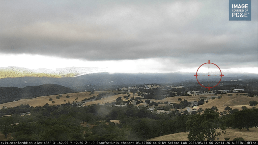
Many lessons learned on this one. Short version: one of the two AlertWildfire camera readings was off by about 2°: the camera was not centered or zoomed in on the target. Had it been accurate, first-arriving crews would have been on the correct trail. Since they weren’t, one engine company was on the wrong trail.

People were contributing Smoke Point readings like gangbusters. 
It was actually overwhelming.
Lessons learned:
- The folks I’m working with at SLAC to improve the triangulation algorithm when there are tons of readings will love this incident. This is exactly what the algorithm is design to handle well: a bunch of terrible compass readings. I will get them the data, and hopefully we can step up the pace of the work there. This is where it will provide value.
- The app is generating a lot of excitement, and value. Also, it’s not foolproof or novice-proof: there is a learning curve. I have some ideas.
- The most inaccurate readings from phones were from the highway, implying they were either taken inside a car or right next to a car. In either case, this is a big no-no from a compass error standpoint. I have to add a slideshow to the app when the user first attempts to take a reading that spells this all out clearly.
- I really, really need to address this wildfire camera heading skew problem.
